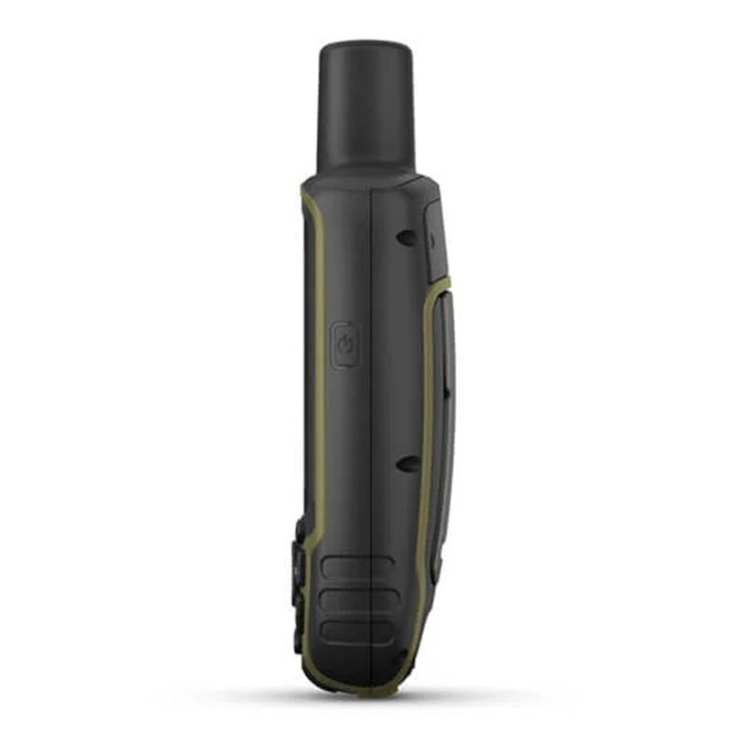
Garmin GPSMAP 65s Multi-band/multi-GNSS handheld with sensors
010-02451-11 1 year warrantyAED 1,669.00
Quantity
** Order for Dhs 200 and get free shipping within UAE
Follow Us On


Product Rating:
(Rating: 5.0 | Reviews: 139)
CART
No Products
TotalAED 0

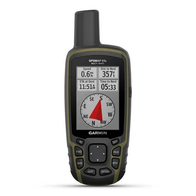
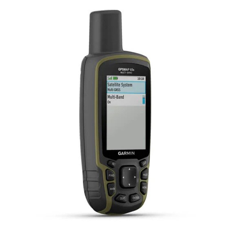
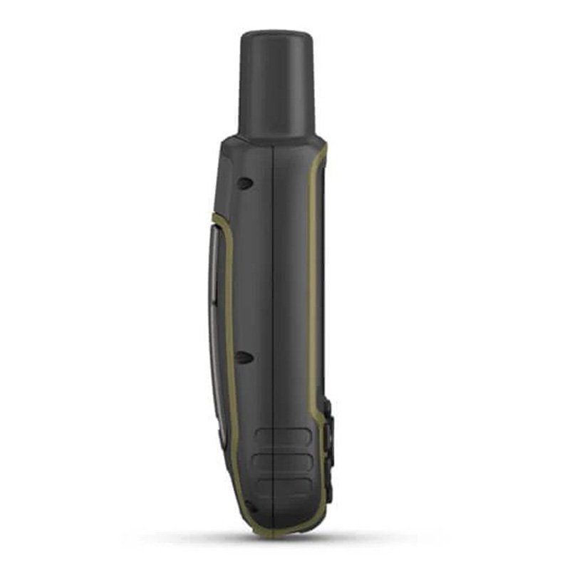
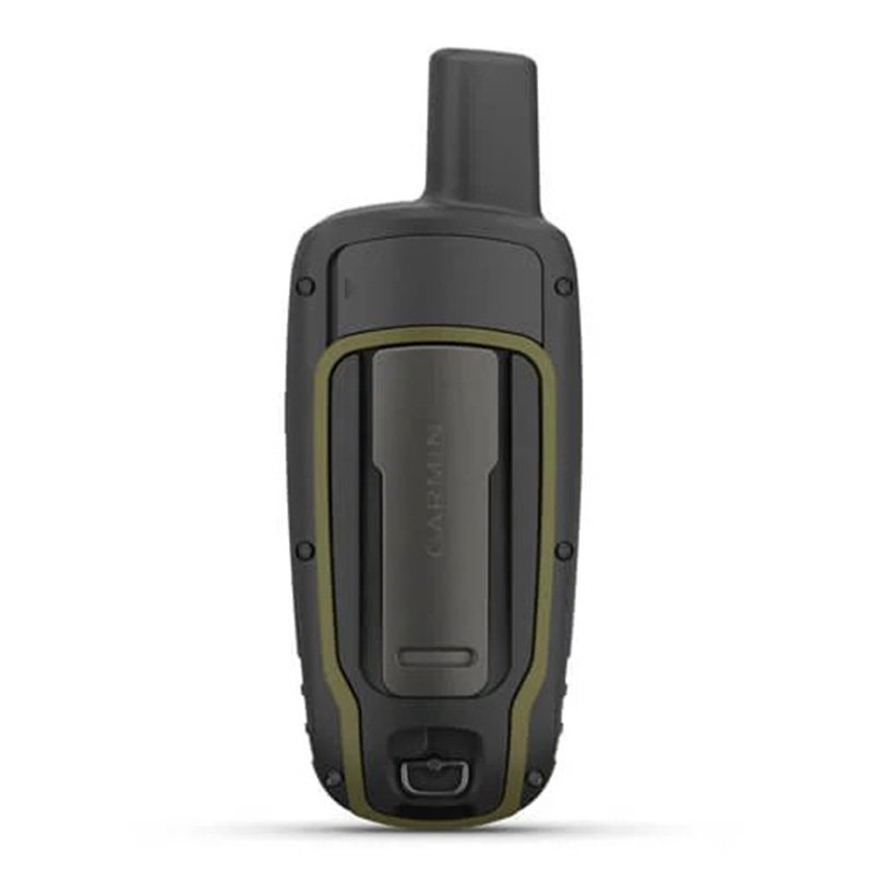
Garmin GPSMAP 65s Multi-band/multi-GNSS handheld with sensors (With Altimeter and Compass)
Find Your Way In This Big, Wide World
Explore more with this rugged handheld that offers optimal tracking accuracy, a 2.6-inch colour display and preloaded maps.
Features
-
Expanded Gnss Support - Multi-band technology and expanded GNSS support (GPS, GLONASS, Galileo, QZSS and IRNSS) provide optimal accuracy in steep country, urban canyons and forests with dense trees.
-
ABC Sensors - Navigate every trail with ABC sensors, including an altimeter for elevation data, barometer to monitor weather and 3-axis electronic compass.
-
Preloaded Topoactive Europe Maps - Preloaded TopoActive Europe maps provide detailed views of routable street and off-road networks, waterways, natural features, land use areas, buildings and more.
-
Smart Notifications - Receive emails, texts and alerts right on your handheld when paired with your compatible device.
-
Garmin Explore App - Plan, review and sync waypoints, routes and tracks by using the Garmin Explore app1 and website. You can even review completed activities while still in the field.
-
Geocaching - Get automatic cache updates from Geocaching Live, including descriptions, logs and hints.
-
Microsd Slot - Using your compatible device and microSD memory card, conveniently download TOPO 24K maps and hit the trail.
Hyjiyastore is a best place to buy the Garmin GPSMAP 65s Multi-band/multi-GNSS handheld with sensors in Dubai, Abu Dhabi, Sharjah, Al Ain, UAE, Middle East. Now shipping available to Doha - Qatar, KSA - Saudi Arabia, Bahrain, Kuwait, Oman in the GCC. Our customers keep on coming back the reason, we have best customer support service / Cash on Delivery and One Day Delivery in UAE.
-
Expanded Gnss Support - Multi-band technology and expanded GNSS support (GPS, GLONASS, Galileo, QZSS and IRNSS) provide optimal accuracy in steep country, urban canyons and forests with dense trees.
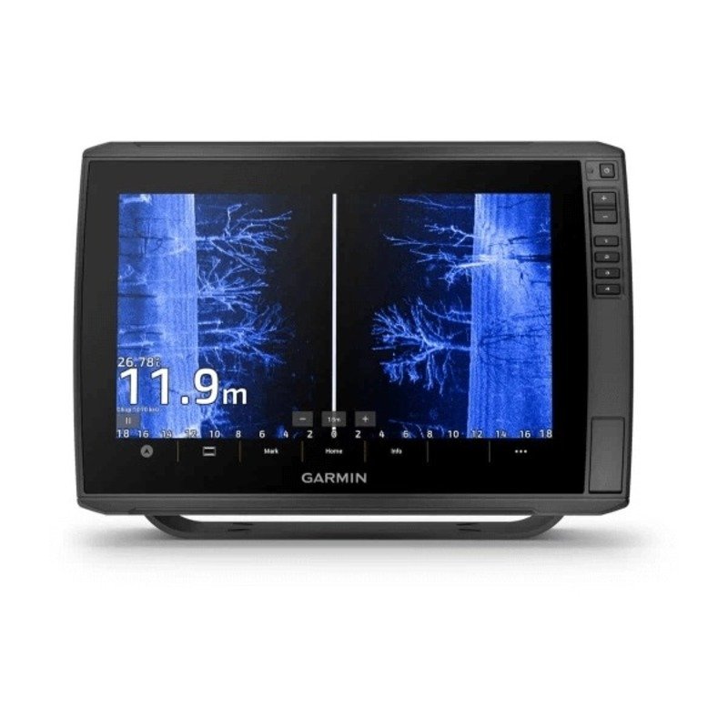
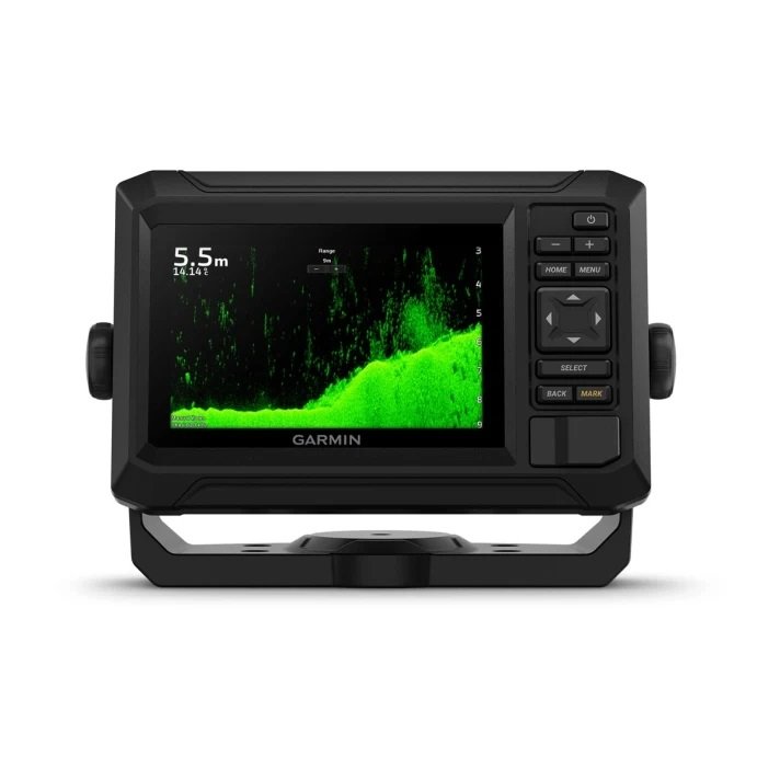
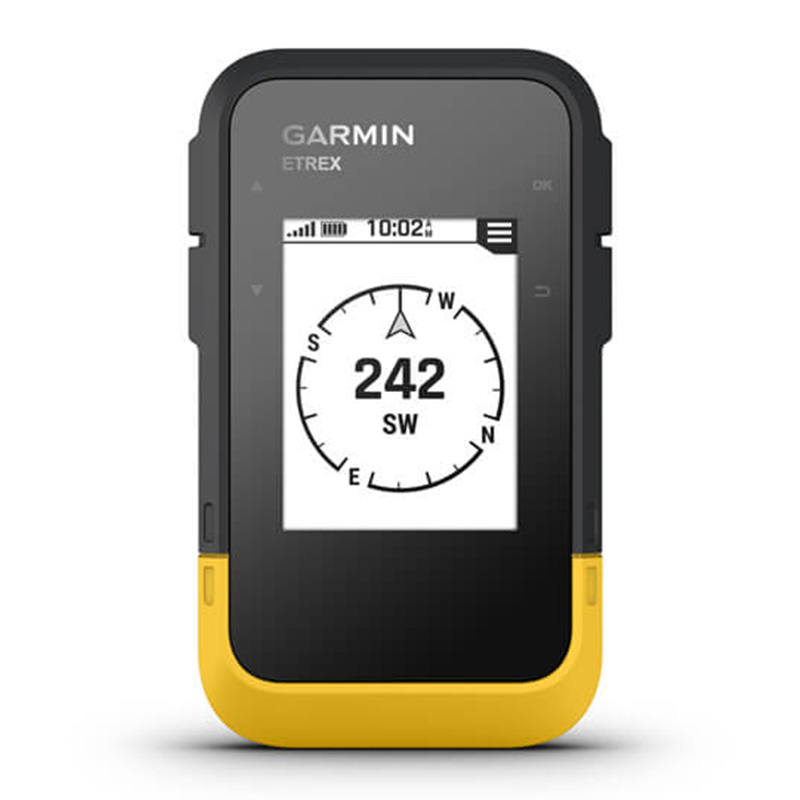
You May Also Like


Our Contacts
-
Customer Support, Business Bay, Dubai
Business Center, Sharjah Publishing City Free Zone - UAE - +971 58 559 8002
- support@hyjiyastore.com
- info@hyjiyastore.com
About Our Shop
- We are Middle East's first dedicate online shopping portal for health and wellness products. We are launched in the year 2016 and today we have presence in all GCC countries. We are selling all leading brands in Health and Sports Nutrition, Food Supplements, Fitness Technology and Baby care. All our products are original and sourced directly from the official distribution channels.
eShop Managed By HYJIYA STORE FZE United Arab Emirates
Featured Products


Quick Links
Our Brands

|
 |
© 2025 HyjiyaStore. All Rights Reserved.